A Forgotten River 2025–
I live in a town with a complicated relationship with flooding. Flooding in major thoroughfairs and low-lying areas that were once the Millers River and a larger wetland of seasonal streams, springs, and unnamed marshlands. These waters have long been rendered invisible and largely forgotten- buried long ago by developers and industry players during the 19th century within the landscape that is Somerville, Massachusetts.
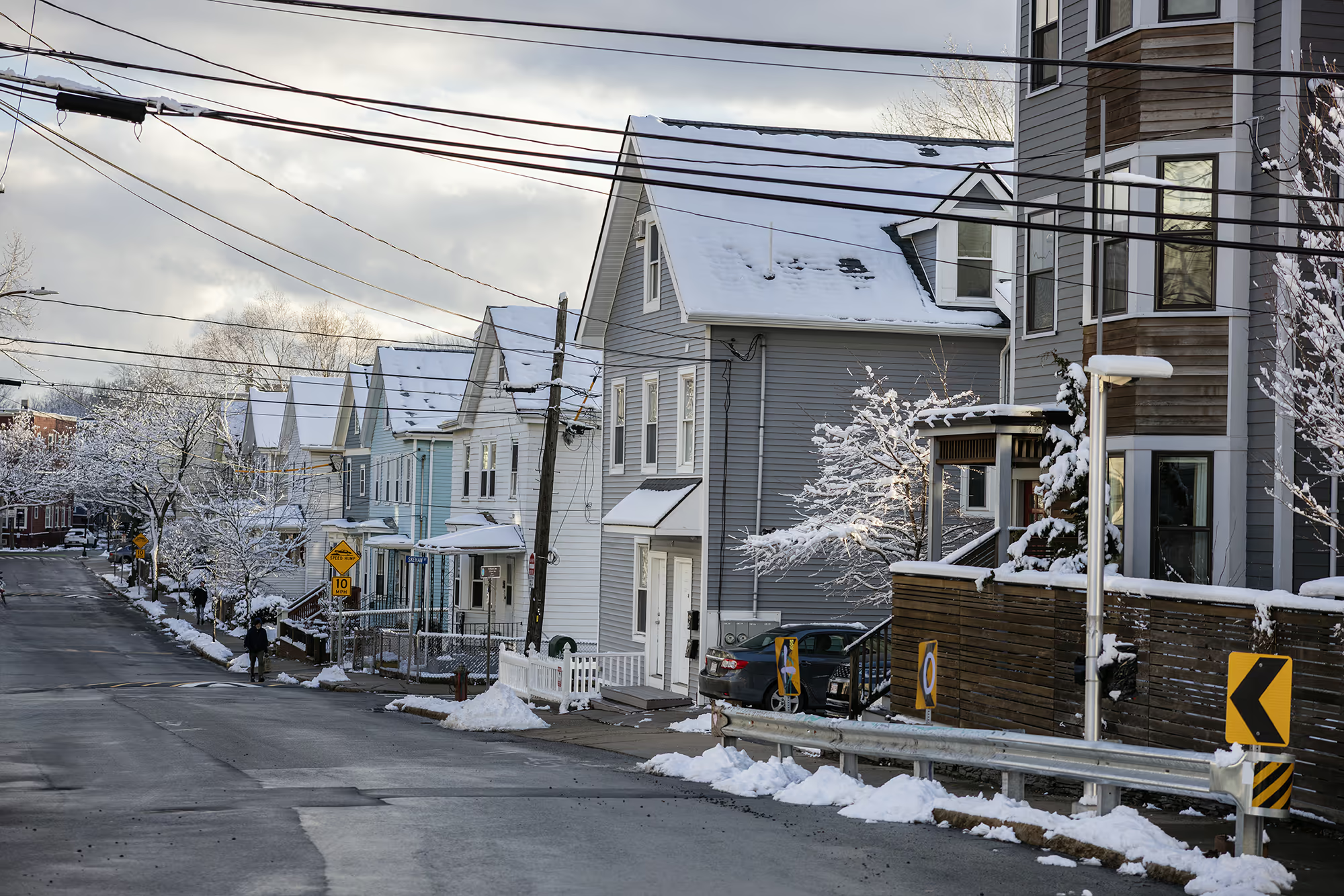
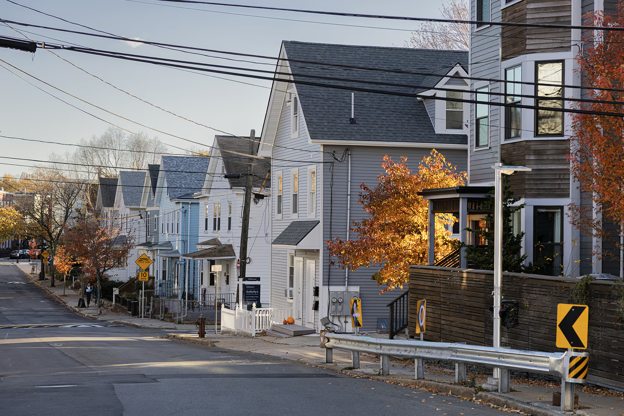
The exact path of the Millers River is now uncertain, though it once helped define the borders between Somerville, Cambridge, and Charlestown, with the only remnant of flowing water now running beneath the I-93 overpass, flowing into the Charles River. Historical maps and accounts suggest that the Millers may have run through what is now Somerville’s Union Square neighborhood, along the affectionately (and aptly) named Lake Street, and into the low-lying basin known locally as “Duck Village,” which borders Cambridge.
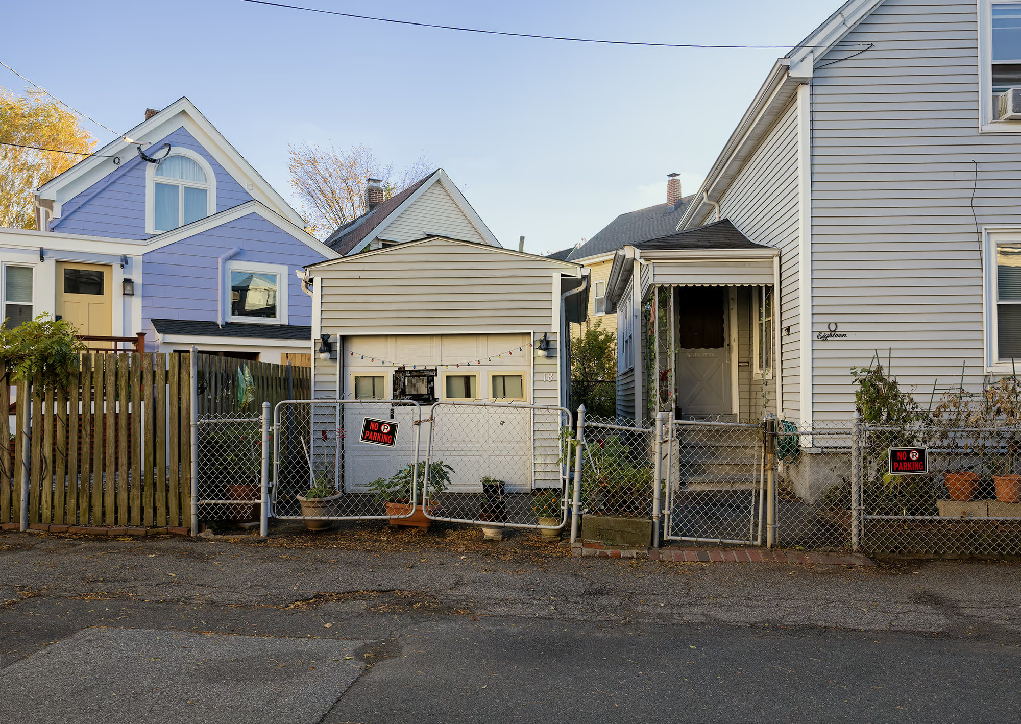
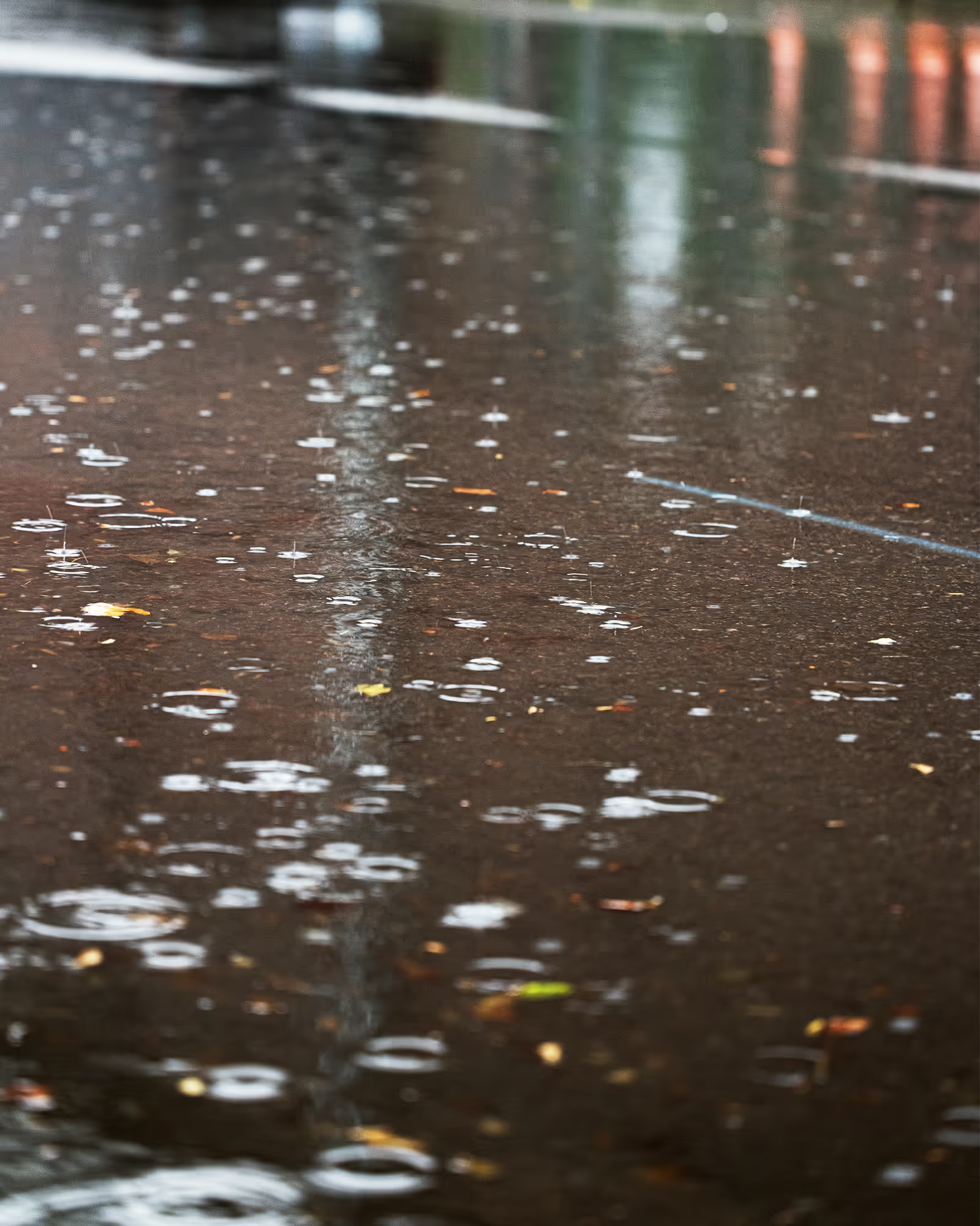
Like the Millers itself, Duck Village has a confusing and interesting history. Dating to the turn of the 20th century, the name has two conflicting origin stories. One refers to a place where local criminals could “duck out” of sight, evading authorities in a tangle of confusing lanes and cottages. The other, and more likely origin, refers to the ducks that would swim through streets and yards after heavy rains, when the buried waterway below seemed to return.
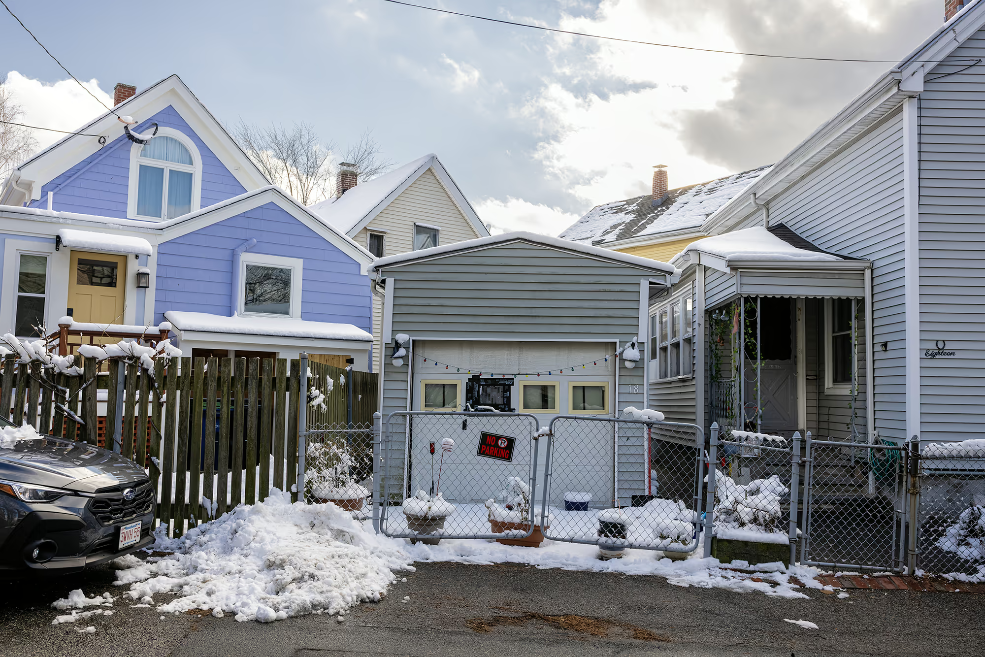
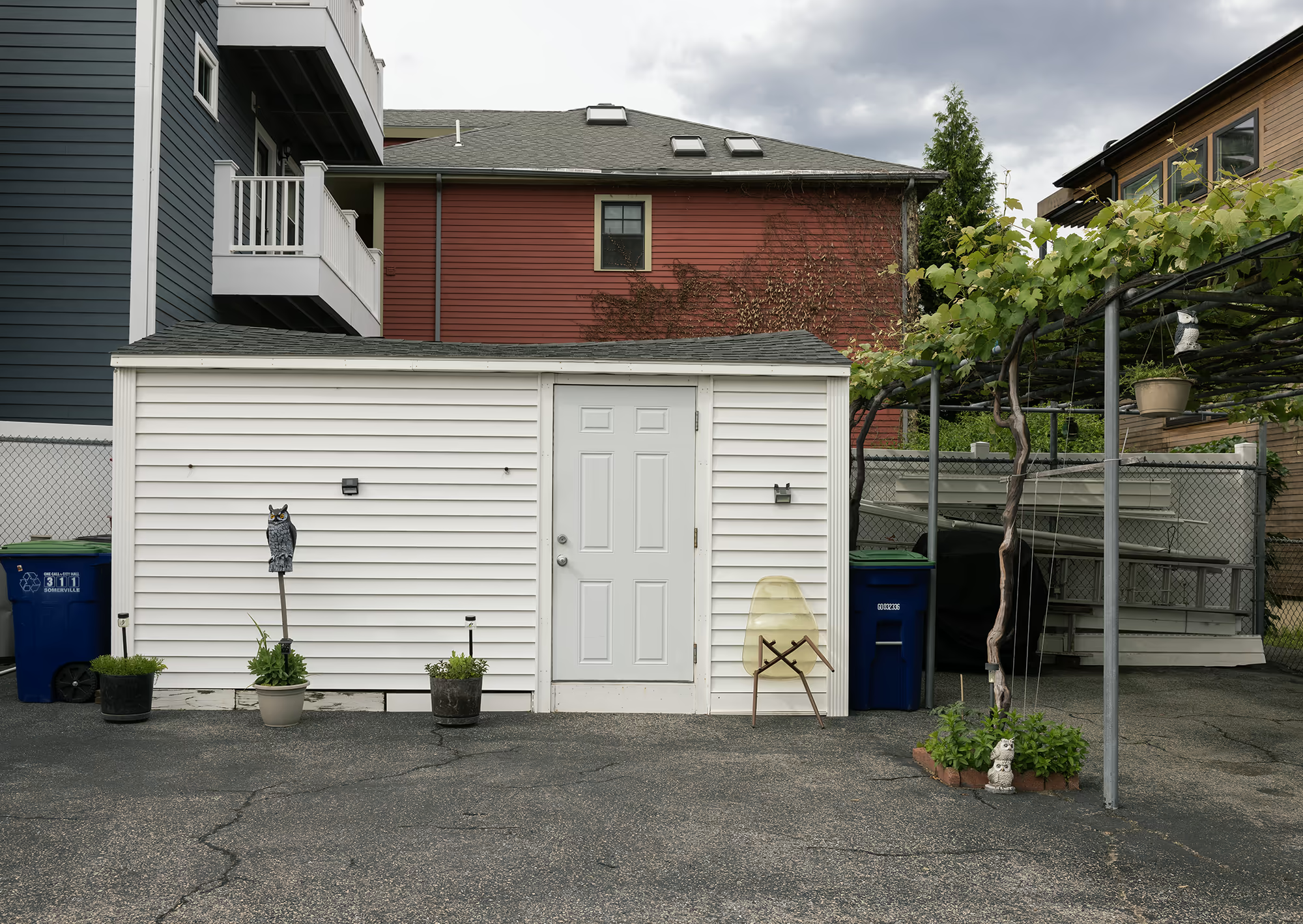
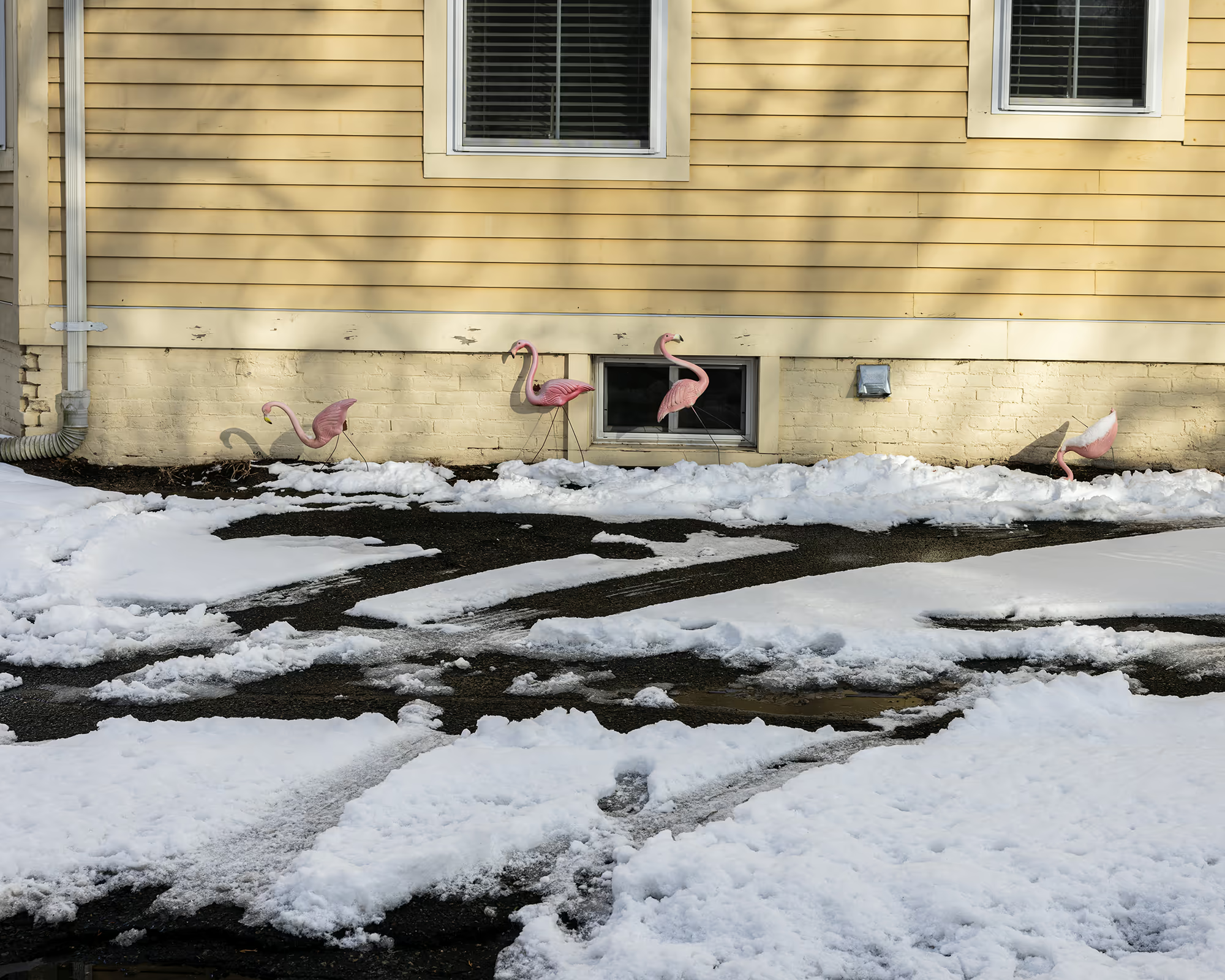
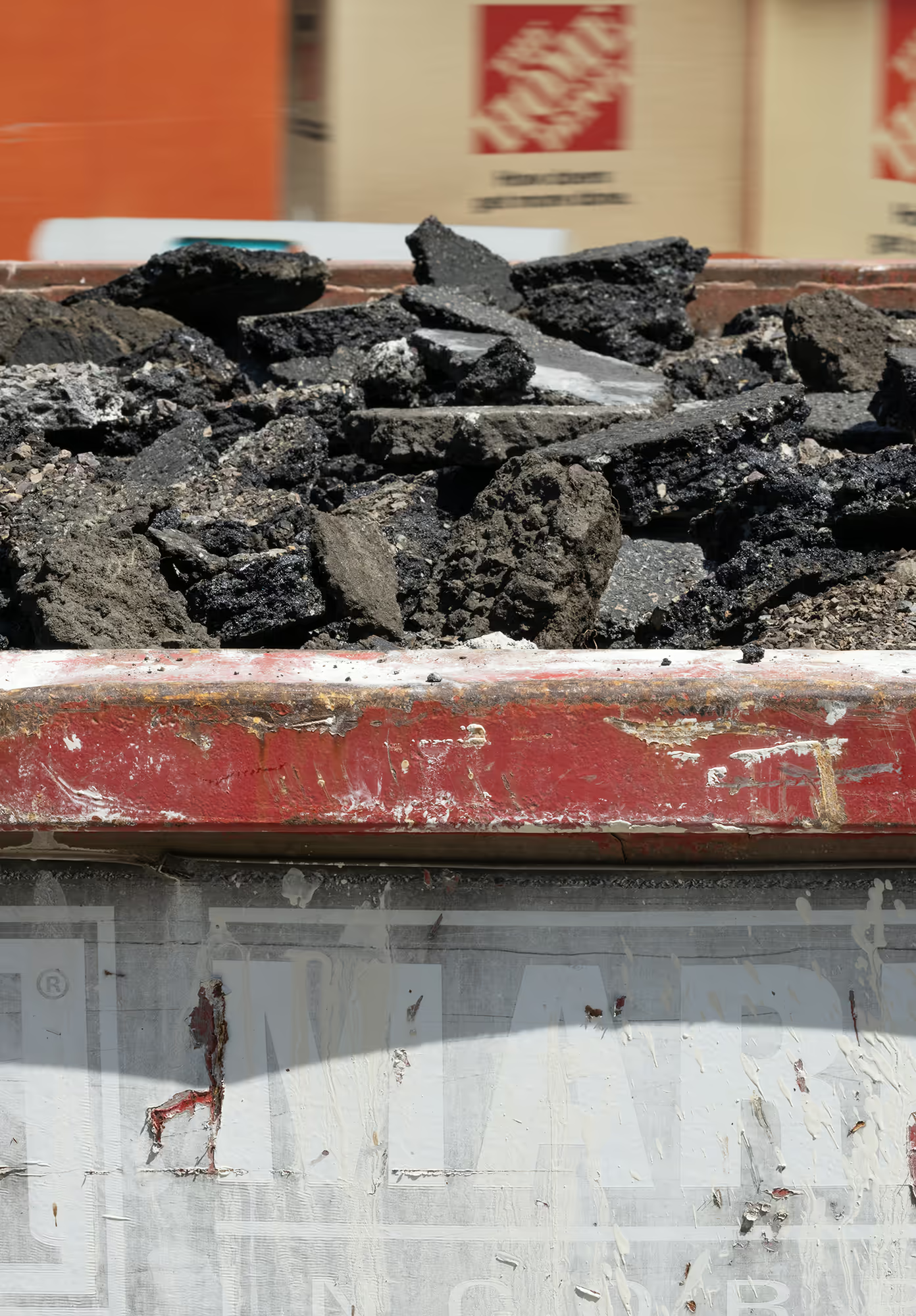
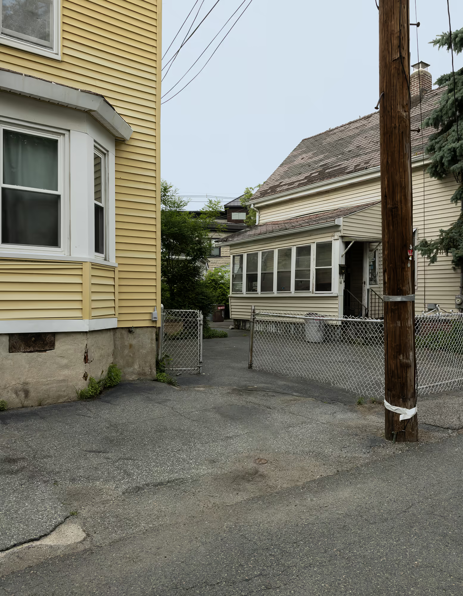
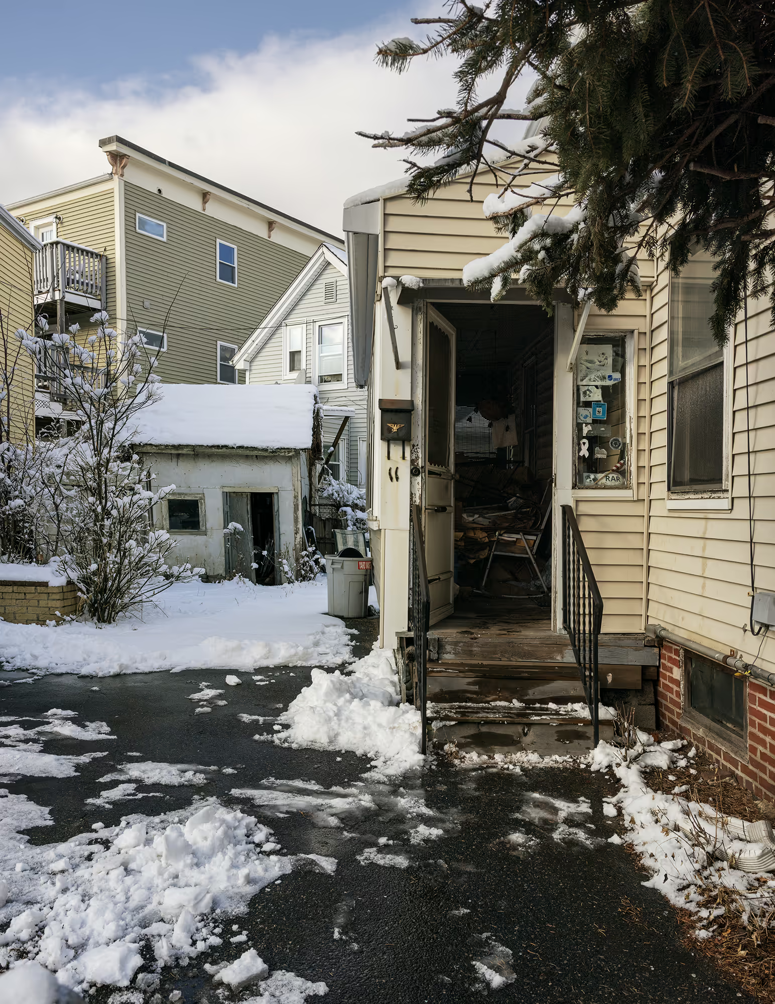
Though covered for more than 150 years, the river continues to shape the lives of those who built upon its former path. The high water table and stripped topsoil has long contributed to flooding, and by the mid-20th century, working-class residents with little governmental support sought their own solutions. Many paved over lawns and yards in an attempt to keep water from entering their foundations and basements. While largely futile, these efforts created heat islands and increased polluted runoff by replacing permeable ground with asphalt. The always returning water remained the only constant reminders of the landscape that existed before.
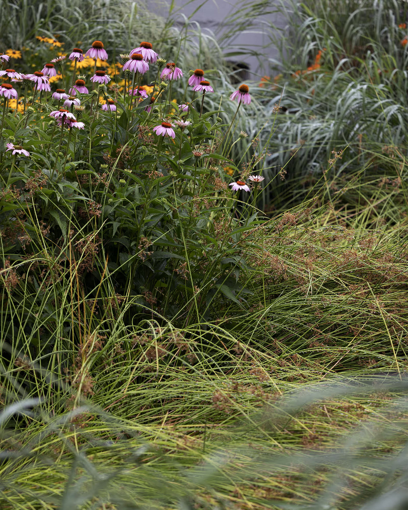
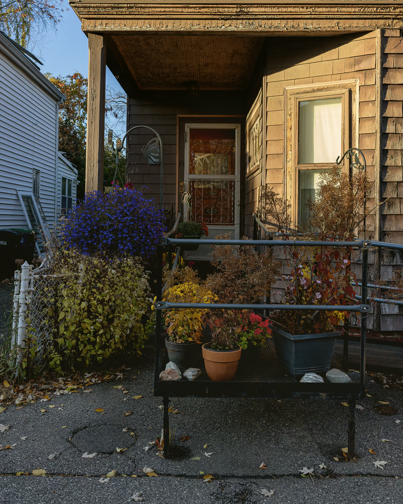
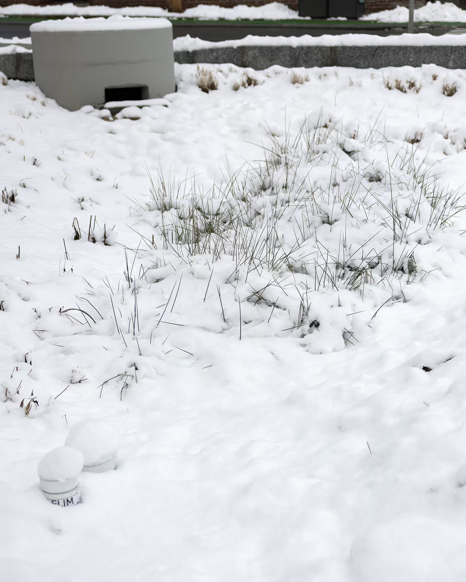
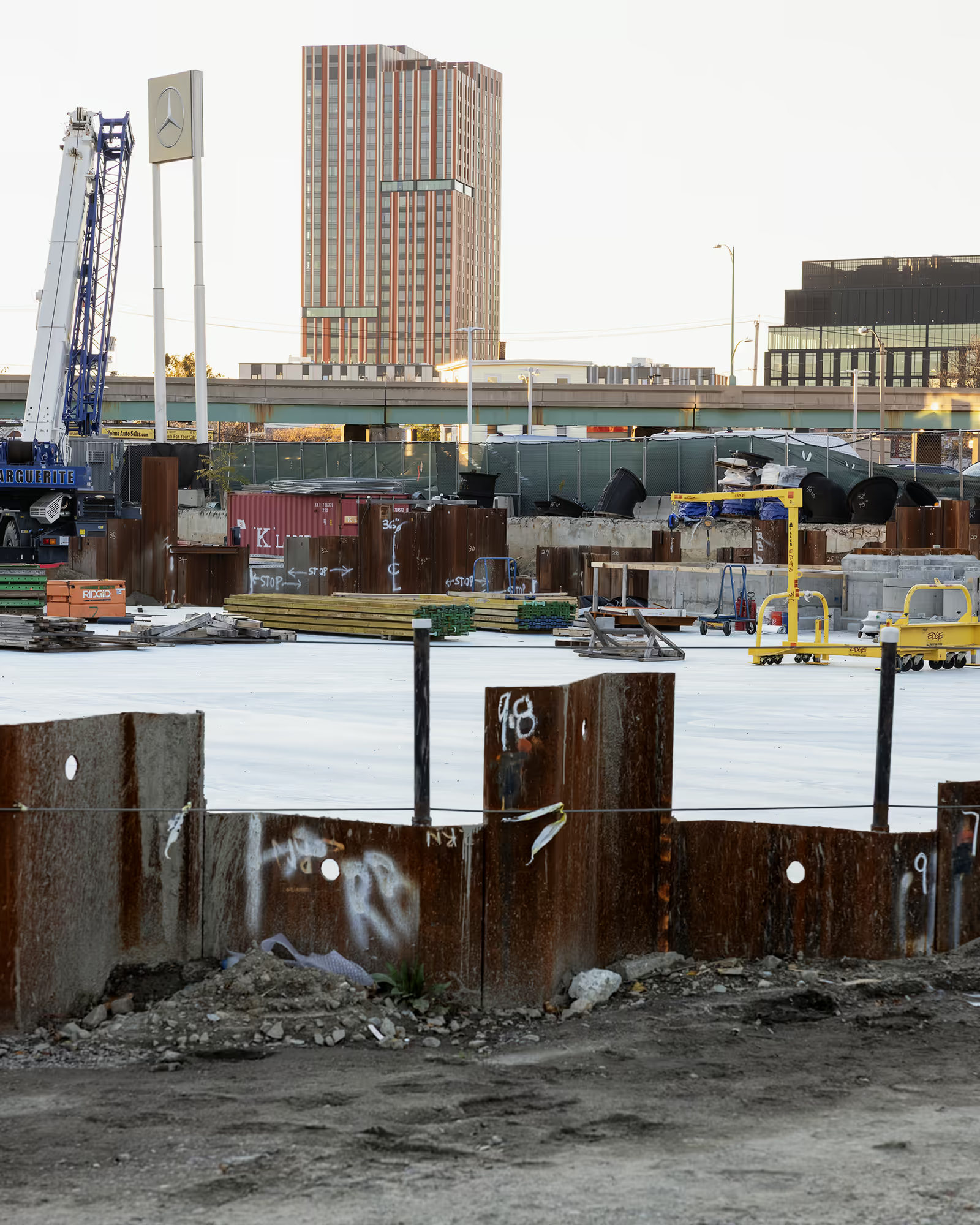
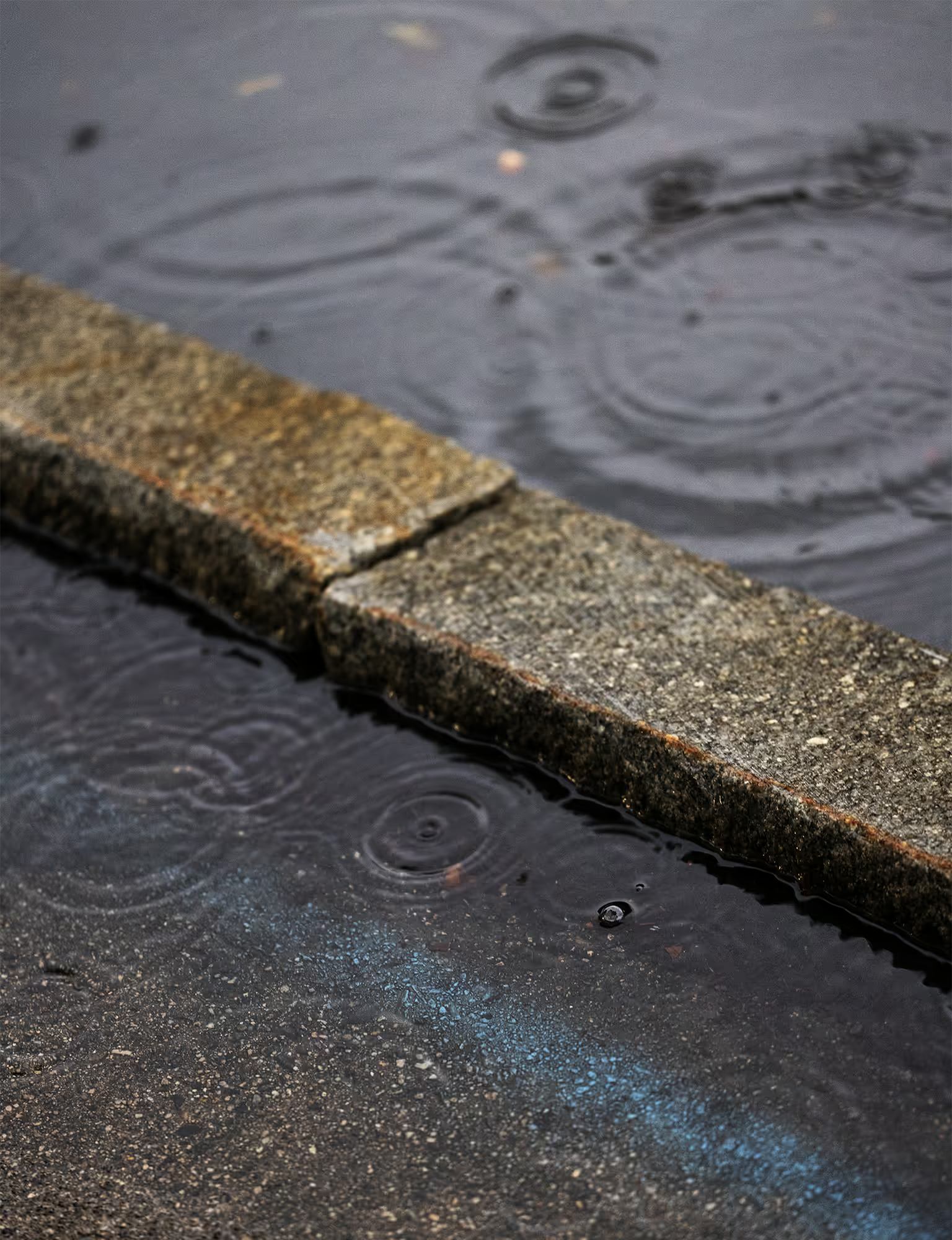
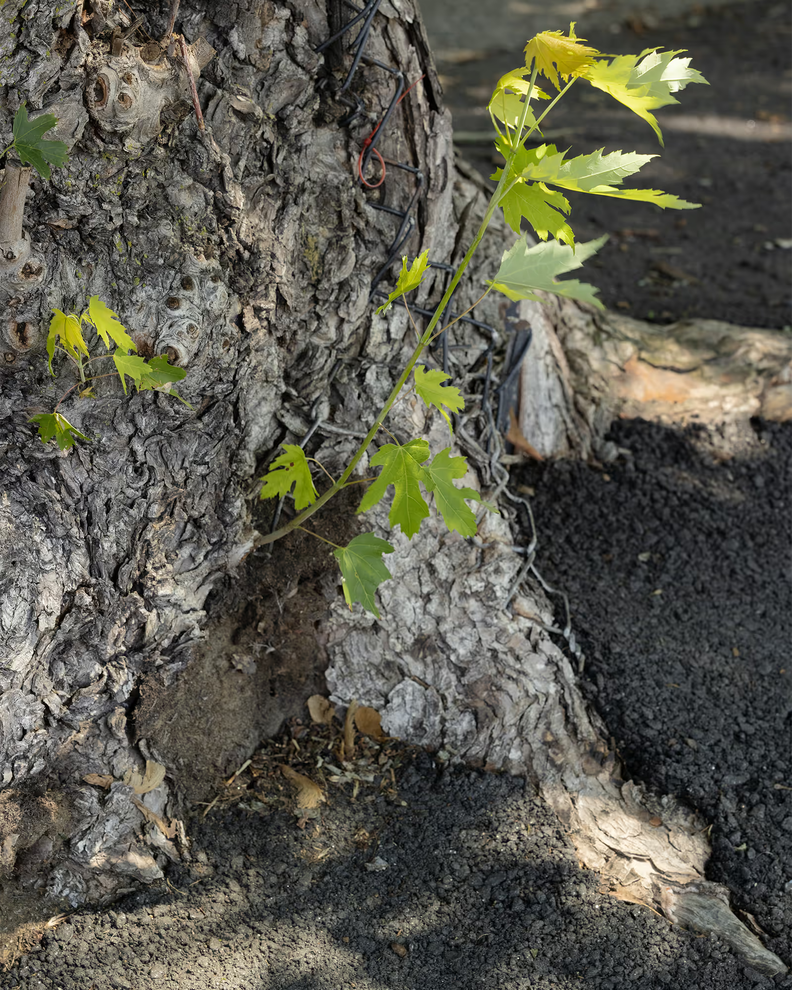
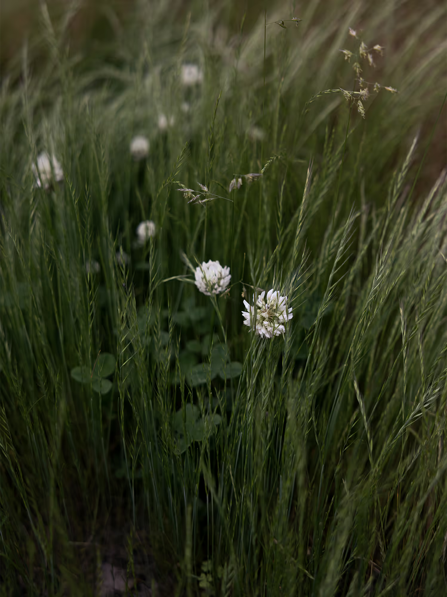
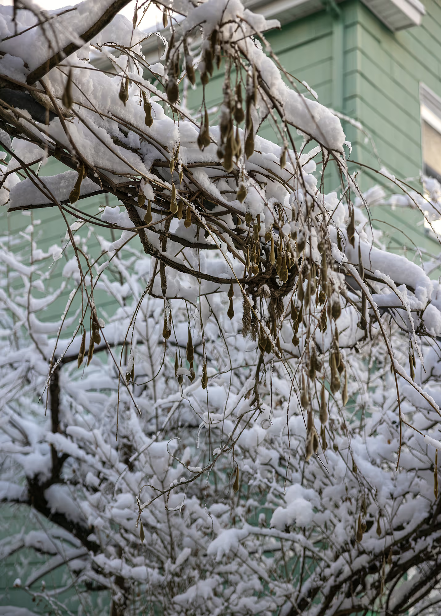
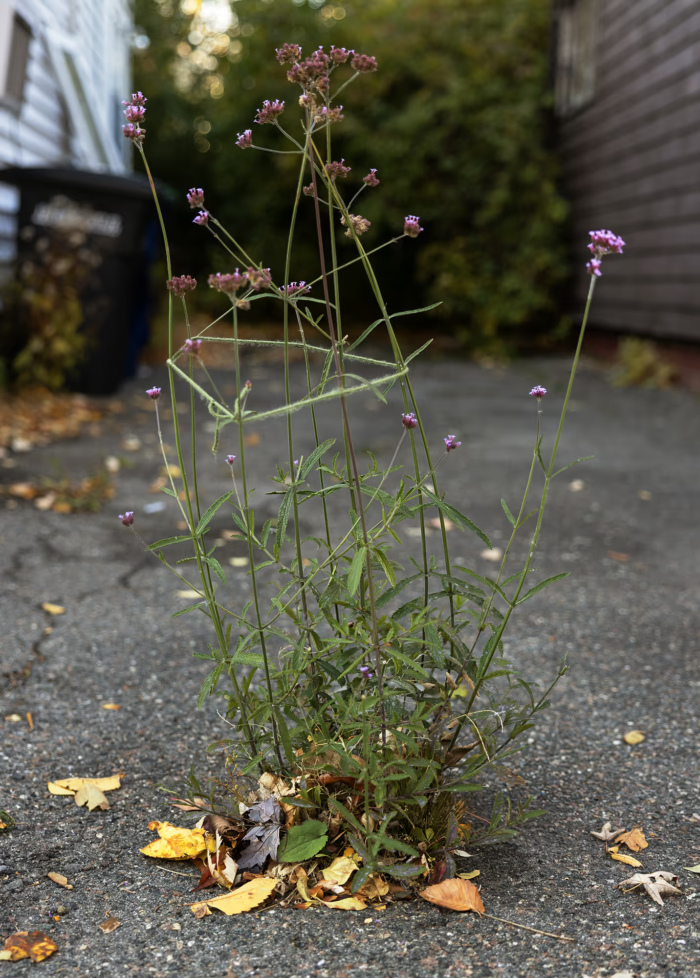
As a 21st century observer and longtime resident of this area, I have been photographing the places where I believe the Millers River once flowed through Union Square and into the basin of Duck Village. I was drawn to the overpaved, tightly packed neighborhoods that still hold onto a lushness. The small glimpses of verdant growth, cracking through the asphalt, reflect the character of this strange landscape—one so profoundly shaped by water, even when that water is invisible at its surface.
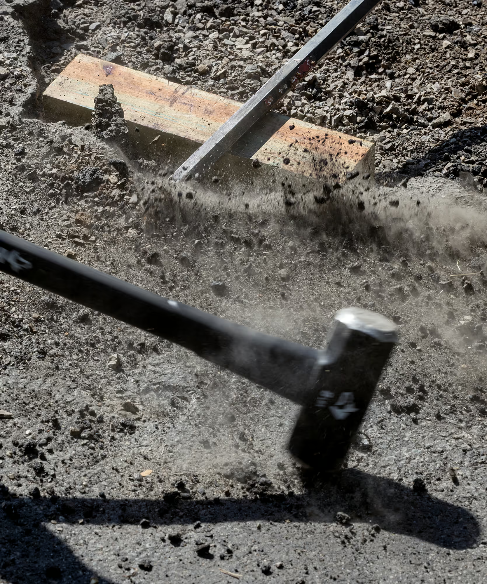
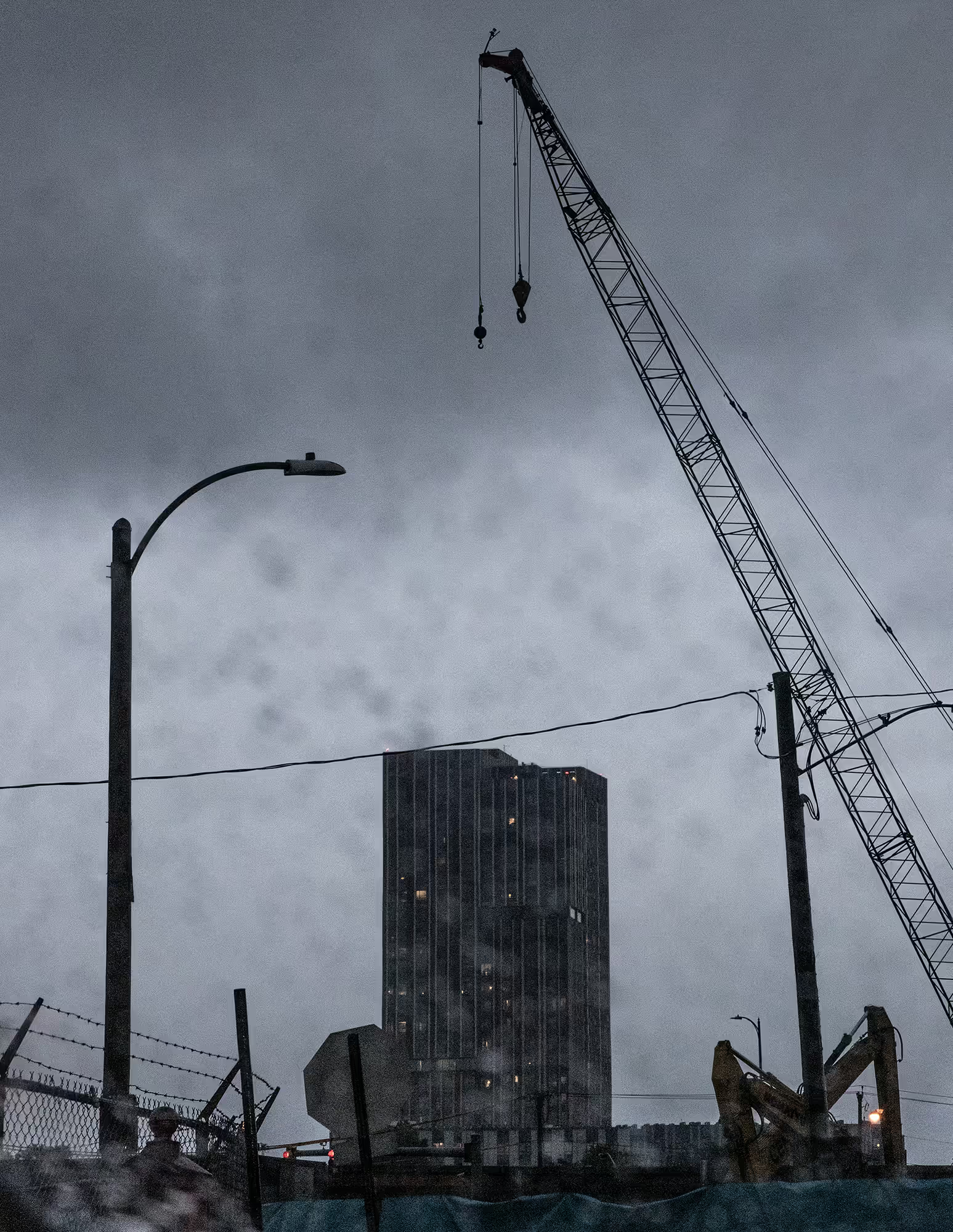
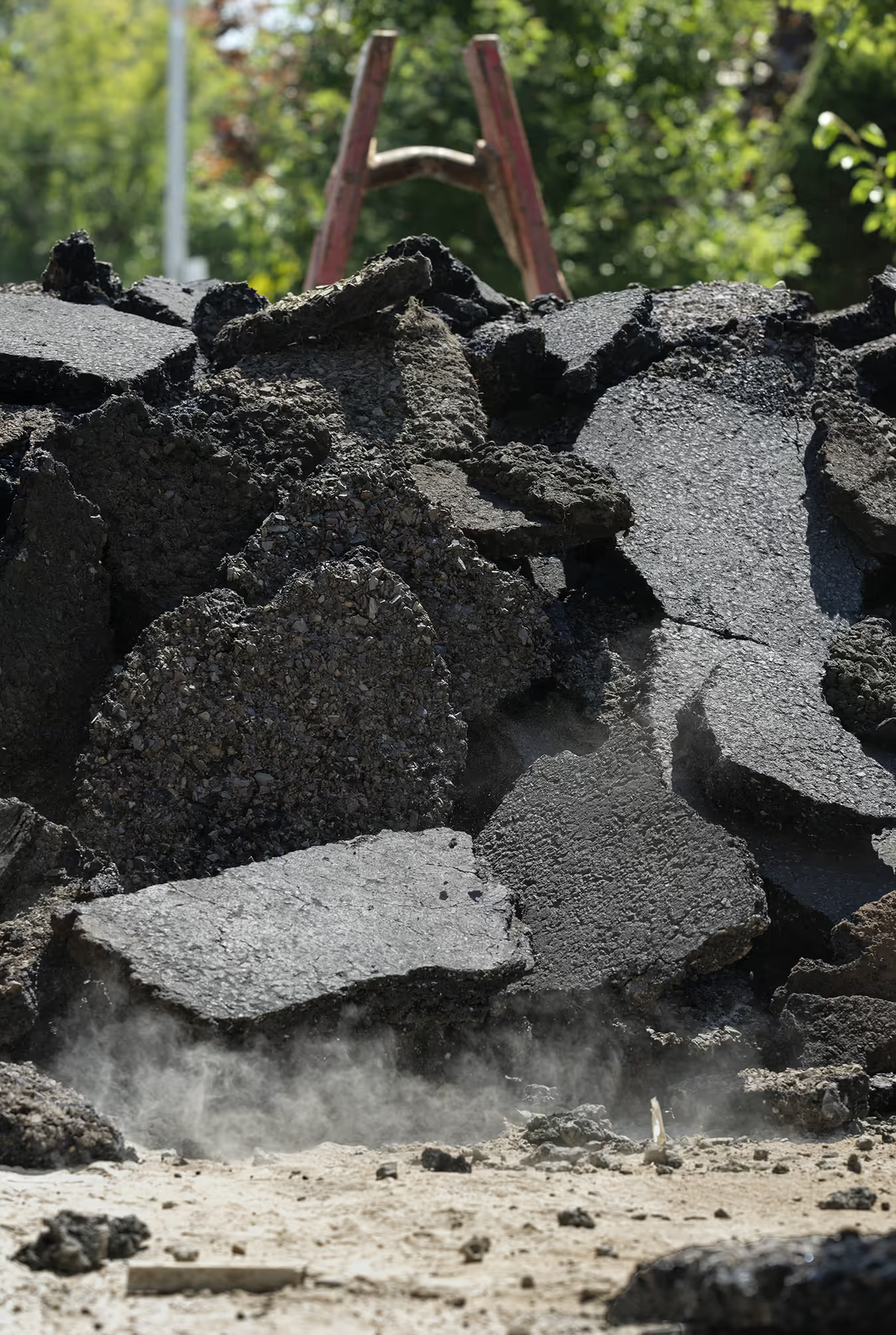
Infrastructure improvements, prompted by growing concerns about climate change and larger floods, are finally bringing new investment to these areas—from the multi-million-dollar Poplar Street Pump Station to new water catchments in Union Square. Citizens have also started volunteer “de-paving” efforts across the city. An action that allows water to once again permeate the ground, alleviating the heat island effect that has risen the temperature in the overly paved city. As Somerville works to address problems created by generations of development and bad planning, I hope these photographs offer a subtle reminder of the waterways that once defined—and continue to shape– this terrain.
This body of work was produced in consortium with the Charles River Composition Project, an initiative to gather photographers from across Greater Boston to research, document, and engage with the Charles River Watershed.